Survey methods
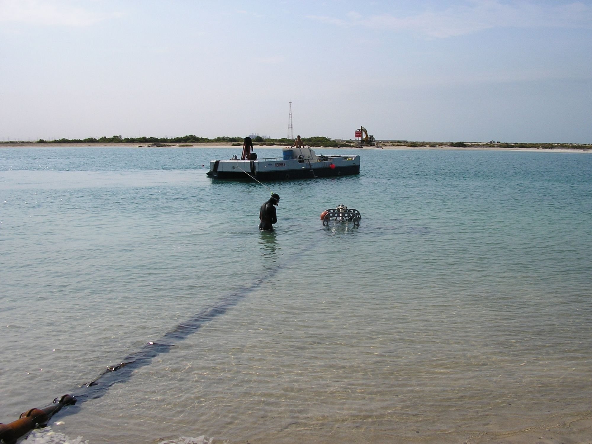
We choose the methods and instruments to suit the purpose of each survey, from route selection to post-lay checks.
Multibeam echo sounder surveys
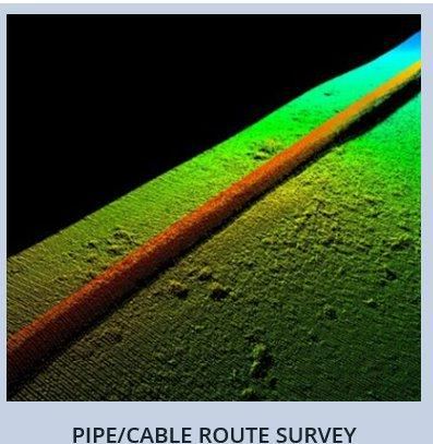
Full seafloor coverage with high data density and accuracy, plus detection and mapping of objects on the seabed. We use multibeam models from 254 to 508 soundings per ping to match the client's requirements.
Side scan sonar
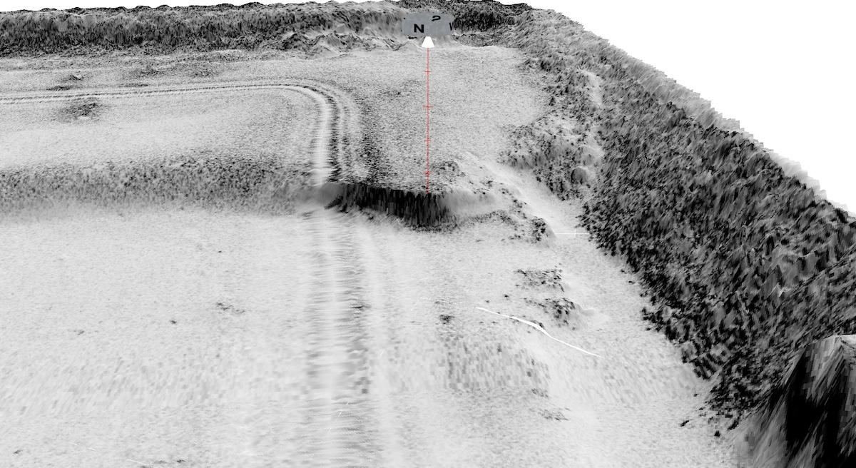
Single or dual frequency, with CHIRP pulses. Defines the seafloor morphology accurately, shows sediment distribution, rocky outcrops and seagrass, and picks out debris, pipelines and cables.
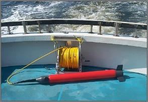
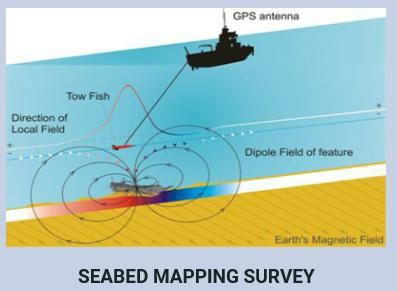
Magnetometer seabed mapping
Measures the Earth's magnetic field to locate submerged or buried iron objects on the seabed, such as existing pipelines and fibre optic cables.
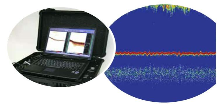
Single beam echo sounders
Single or dual frequency, fitted with heave compensation and a sound velocity profiler.
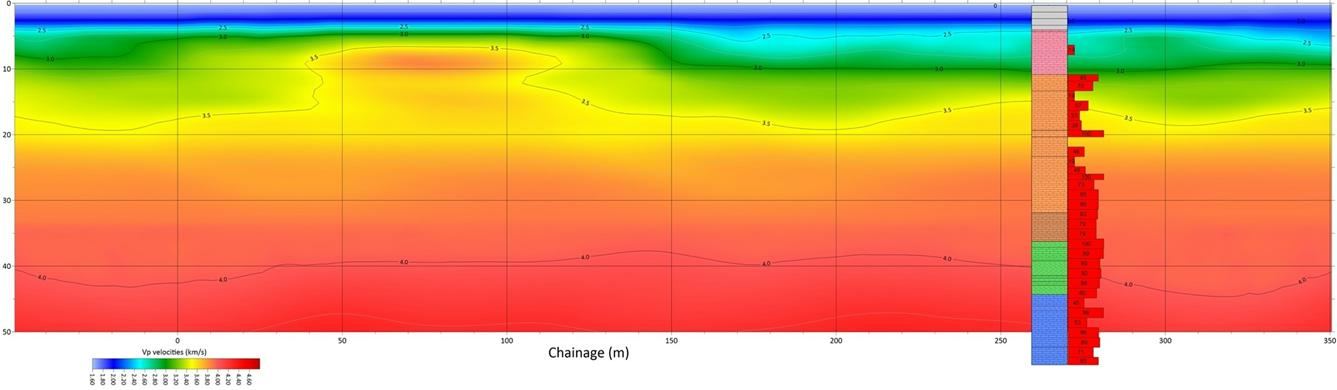
Seismic refraction
A seismic source sends an acoustic wave into the ground. By analysing the refracted wave's time and distance, we identify the layers beneath the seabed and their thickness.
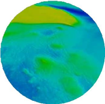
Data processing
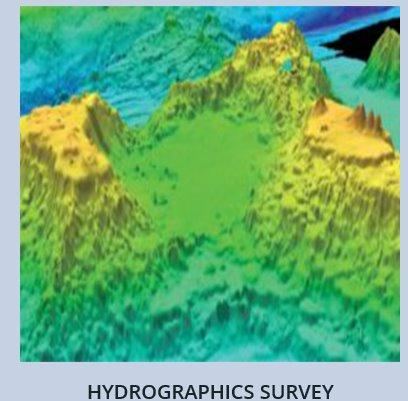
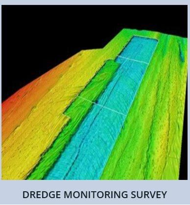
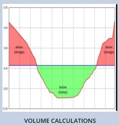
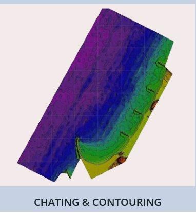
Survey data processed into charts, contours, 3D seabed models and volume calculations for the route design.
Survey outputs
Examples of the deliverables we produce.
Planning a cable or pipeline project?
Tell us about the route and the timeline, and our team will come back to you with options and a quote.